Publications, data products, and libraries supported by CryoCloud#
Important
Create a pull request to add your CryoCloud-supported content!
You can find the full documentation for updating this list here.
Publications and reports#
Petty, A. A., C. Cardinale, M. Smith, (in review). Constraining CMIP6 sea ice simulations with ICESat-2, EGUsphere (preprint), 2025-766, doi: 10.5194/egusphere-2025-766, Geoscientific Model Development (GMD).
Landy, J. C., C. de Rijke-Thomas, C. Nab, I. Lawrence, I. A. Glissenaar, R. D. C. Mallett, R. M. F. Hansen, A. Petty, M. C. Tsamados, A. R. Macfarlane, A. Braakmann-Folgmann, (in review). Anticipating CRISTAL: An exploration of multi-frequency satellite altimeter snow depth observations over Arctic sea ice, 2018-2023, EGUsphere (preprint), 2024-2904, The Cryosphere Discuss.
Liu, W. M. C. Tsamados, A. Petty, T. Jin, W. Chen, J. Stroeve, (2025), Enhanced Sea Ice Classification for ICESat-2 Using Combined Unsupervised and Supervised Machine Learning, Remote Sensing of Environment, 318, 114607, doi: 10.1016/j.rse.2025.114607.
Snow, T., Harris, A., Scambos, T., Grigsby, S., Abrahams, E., Pérez, F., Savidge, E., Shuman, C., Abdalati, W., Siegfried, M.R. (submitted). Polar application of a new Landsat sea surface temperature algorithm to the Amundsen Sea, West Antarctica. IEEE Transactions on Geoscience and Remote Sensing.
Wild, C., Snow, T., Dotto, T., Davis, P., Tyler, S., Scambos, T., Pettit, E., Heywood, K. (in review). Thwaites Eastern Ice Shelf Cavity Observations Reveal Multi-year Sea Ice Dynamics and Deep-Water Warming in Pine Island Bay, West Antarctica. Ocean Science.
Abrahams, A., McKenzie, M., Perez, F., Venturelli, R. (2024). Automatic identification of streamlined subglacial bedforms usingmachine learning: an open-source Python approach. Boreas. 10.1111/bor.12682
Fair, Z., Vuyovich, C., Neumann, T.A., Larsen, C.F., Stuefer, S.L., Mason, M., May, L. (submitted). “Characterizing ICESat-2 Snow Depths Over the Boreal Forests and Tundra of Alaska in Support of the SnowEx 2023 Campaign.” Water Resources Research.
Brencher, G., Henderson, S., and Shean, D. (submitted). “Quantifying degradation of the Imja Lake moraine dam with fused InSAR and SAR feature tracking time series.” EGUsphere 2024: 1-30. 10.5194/egusphere-2024-3196
Freer, B., Marsh, O., Fricker, H., Hogg, A., Siegfried, M., Floricioiu, D., Sauthoff, W., Rigby, R., Wilson, S. (accepted) Coincident lake drainage and grounding line retreat at Engelhardt Subglacial Lake, West Antarctica, West Antarctica. Journal of Geophysical Research - Earth Surface.
Wåhlin, A., Alley, K.E., Begeman, C., Hegrenæs, Ø., Yuan, X., Graham, A.G.C., Hogan, K., Davis, P.E.D., Dotto, T. S., Eayrs, C., Hall, RA., Holland, D., Kim, T.W., Larter, R., Ling, L., Muto, A., Pettit, E.C., Schmidt, B.E., Snow, T., Stedt, F., Washam, P. M., Wahlgren, S., Wild, C., Wellner, J., Zheng, Y., Heywood, K.J. (2024). Swirls and scoops: Ice base melt revealed by multibeam imagery of an Antarctic ice shelf, Science Advances, 10(31). 10.1126/sciadv.adn9188
Abrahams, E., Snow, T., Pérez, F., Siegfried, M. R. (2024). A Concise Augmentation Strategy for Preserving Spatial Context in Tiled Imagery for Earth Observation, Machine Learning for Remote Sensing Workshop {ML4RS} at The Twelfth International Conference on Learning Representations, {ICLR} 2024, Vienna, Austria, May 7-11, 2024. arXiv:2404.10927
Savidge, E., Snow, T., Siegfried, M. R. (2023). Multi-decadal Record of Sensible-Heat Polynya Variability from Satellite Optical and Thermal Imagery at Pine Island Glacier, West Antarctica, Geophysical Research Letters. doi.org/10.1029/2023GL106178
Savidge, E., Snow, T., Siegfried, M. R., Zheng, Y., Bôas, A., Bortolotto, G. A., Boehme, L., Alley, K. E. (2023). Wintertime Polynya Structure and Variability at Pine Island Glacier, West Antarctica, from Thermal Remote Sensing and Seal-borne Observations, IEEE Transactions on Geoscience and Remote Sensing. doi.org/10.1109/TGRS.2023.3271453 Analysis code: doi.org/10.5281/zenodo.7843547
Snow, T., Zhang, W., Schreiber, E., Siegfried, M., Abdalati, W., Scambos, T. (2023). Alongshore winds force warm Atlantic Water toward Helheim Glacier in southeast Greenland, Journal of Geophysical Research: Oceans, 128 (9). 10.1029/2023JC019953
Millstein, J., Snow, T., Sauthoff, W., Scheick, J., & Siegfried, M. (2023). CryoCloud: Accelerating Discovery for NASA Cryosphere Communities with Open-Cloud Infrastructure (NASA Request for Information). Zenodo. 10.5281/zenodo.7662993
Chu, W., Bartholomaus, T., MacGregor, J., Morlighem, M., & Walden, V. (2023). Report on the 2023 Future of Greenland ice Sheet Science (FOGSS) Workshop: Unifying Themes, Cross-Cutting Priorities, and Future Directions.
Media#
Wong, J. (2024). “Keeping PACE with GPU enabled compute to detect global cloud cover using satellite data.” 2i2c Blog, https://2i2c.org/blog/2024/pace-hackweek.
Fisher, M., Stafford, T. (2019) “Desktop GIS Software in the Cloud with JupyterHub.” Jupyter Blog, https://blog.jupyter.org/desktop-gis-software-in-the-cloud-with-jupyterhub-ddced297019a.
Data products#
Sauthoff, W., & Freer, B. (2024). Subglacial water flow paths beneath Whillans Ice Plain, West Antarctica (Version 1.0) [Data set]. NERC EDS UK Polar Data Centre. https://doi.org/10.5285/0df5d4e9-2fcd-4420-b403-24d76848a5a5
Open source libraries#
icepyx from Jessica Scheick and others - Python tools for obtaining and working with ICESat-2 data
bedfinder from Marion Mackenzie and Ellianna Abrahams - Python library for the Automatic Detection of Glacially-derived Bedforms

earthaccess from Luis Lopez and others - Python library to search for, and download or stream NASA Earth science data with just a few lines of code
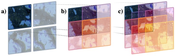
FlipNSlide from Ellianna Abrahams and others - Python library that improves image tiling and augmentation for geospatial machine learning applications
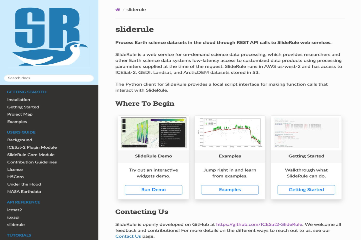
SlideRule and sliderule-python from David Shean, JP Soinski and others - Python client and notebooks that make it easier to interact with SlideRule Earth on-demand data
ITS_LIVE-Downloader-Tracker from Victor Devaux-Chupin and others - a Python library for ITS_LIVE datacube downloading & tracking/strains calculation
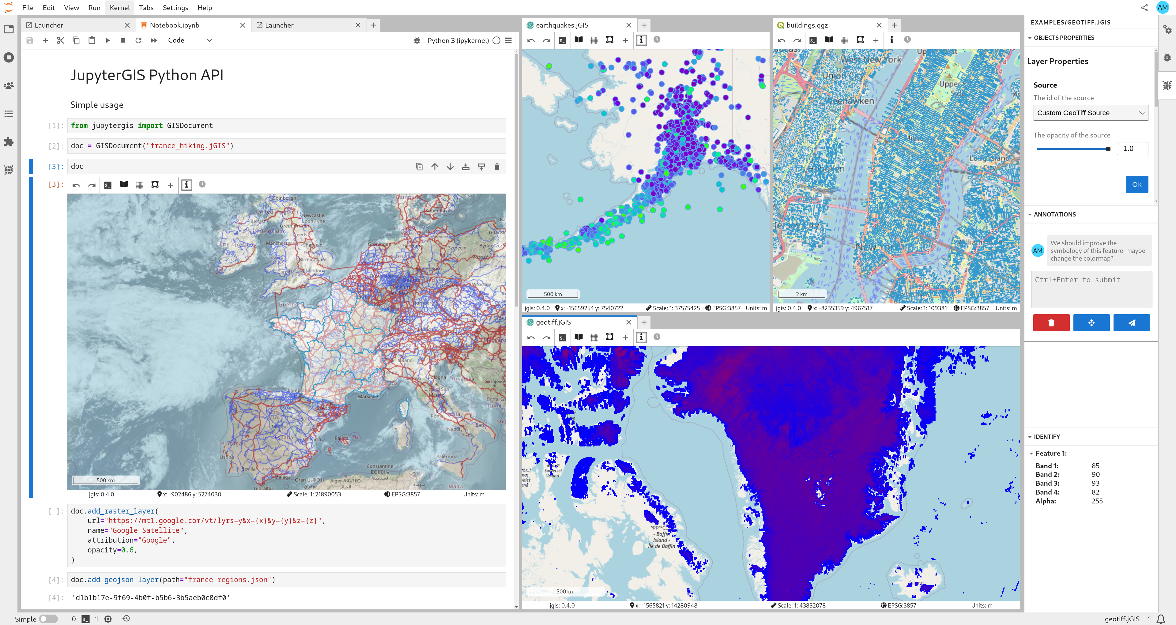
Jupyter-GIS by Matthew Fisher and others - A Python JupyterLab extension for collaborative GIS
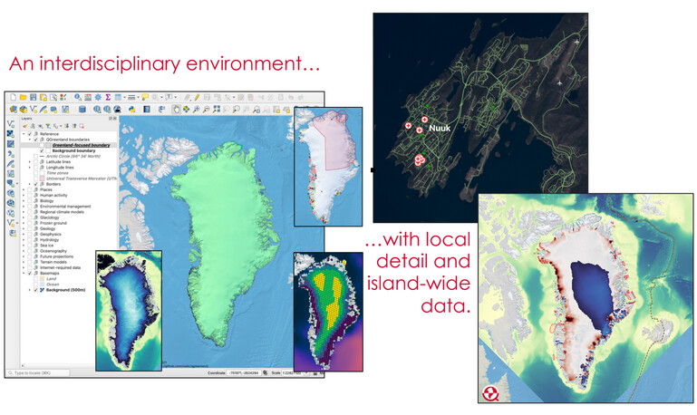
QGreenland by Twila Moon and others - A free QGIS mapping tool that combines key datasets into a unified, all-in-one GIS analysis and visualization environment for offline and online use.